Purbeck Road Ride Long
41miles
Length
760metres
Elevation gain
4hours 3minutes
Average time
Road
Ride Type
A ride around the Isle of Purbeck from Swanage over the army ranges and returning via Wool, Wareham and Corfe Castle.
The ride goes along the top of the Purbeck Hills between Corfe Castle and Lulworth across a section of the army ranges which are normally open at weekends and school holidays. A long descent into Lulworth is followed by climbs and descents into Wool and past Monkey World and the Bovington Tank Museum.
A long stretch through Wareham Forest before you reach the Saxon town of Wareham and then onwards across Heartland Moor and back to Corfe Castle. From there you will follow the Studland Road back to Swanage and the starting point of your ride.
Start:
Main Beach Car Park
Victoria Avenue
Swanage
BH19 1PW
OS Grid Ref: SZ 02667 79104
These routes have been recorded using a Garmin GPS unit. We cannot guarantee the accuracy of the available data files due to differences between GPS devices.
Route
Start
Elevation: 5 metres
OS Grid Reference: SZ 02679 79129
Lat, long: 50.61187, -1.96350
Start at Victoria Avenue car park, exit car park and turn left along Victoria Avenue.
Langton Junction
Elevation: 39 metres
OS Grid Reference: SZ 00734 78880
Lat, long: 50.60964, -1.99099
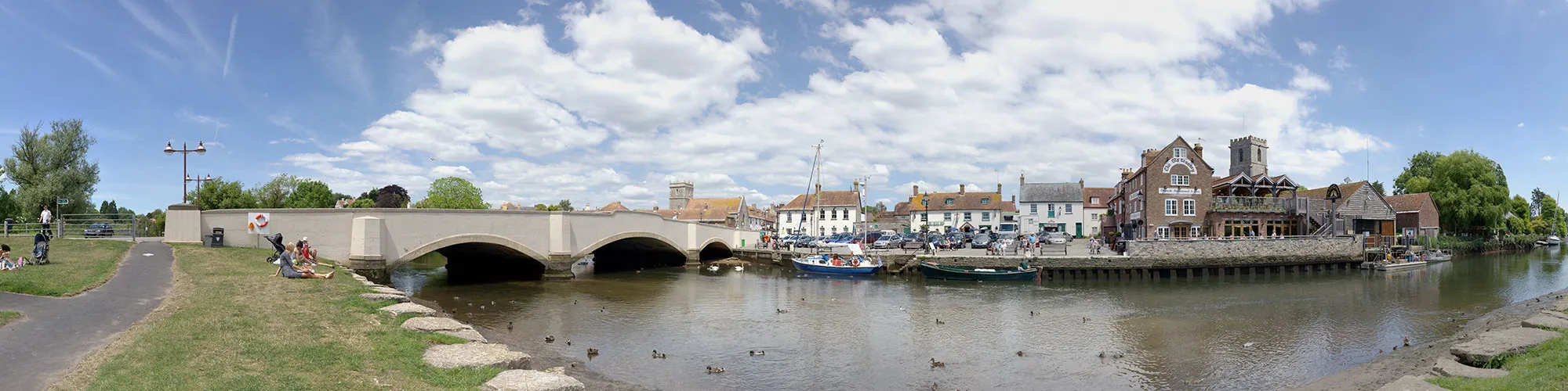
At the junction for Langton Matravers, continue bearing right along Valley Road and follow the main road to Corfe Castle, continue though the village and down the hill around the base of the castle until you come to a stepped cross roads.
Junction to Church Knowle
Elevation: 17 metres
OS Grid Reference: SY 95958 82428
Lat, long: 50.64152, -2.05852
Turn left at the junction signposted to Church Knowle, Steeple and Kimmeridge and follow the road heading west through the village of Church Knowle and continue along the road until it bears right and up a steep hill to a Y junction at the top of the hill.
Grange Hill Junction
Elevation: 158 metres
OS Grid Reference: SY 90103 81686
Lat, long: 50.63478, -2.14130
At the top of Grange Hill turn left at the junction and follow the road across the top of the army ranges across the ridge line and down to a T junction. Please note that the range roads are only open at weekends and school holidays. There is a car park at the highest point which is a idea place for a break to take photos.
Junction
Elevation: 61 metres
OS Grid Reference: SY 85979 81717
Lat, long: 50.63497, -2.19962
When you reach the junction at the bottom of the hill continue straight ahead to next junction
B3070 Junction
Elevation: 61 metres
OS Grid Reference: SY 85652 81810
Lat, long: 50.63581, -2.20424
At the junction at with the B3070 continue straight ahead along the B3070 until you come to a cross roads with sign posts for Lulwoth Cove on the left and Wool on the right.
B3070 and B3071 Junction
Elevation: 115 metres
OS Grid Reference: SY 83512 81596
Lat, long: 50.63382, -2.23449
Turn right at the junction towards Wool.
Dorchester Road and A352 and Station Road Junction
Elevation: 15 metres
OS Grid Reference: SY 84369 86885
Lat, long: 50.68141, -2.22261
When you reach the junction with the A352 to Dorchester and the railway crossing, turn right over the railway line and continue until you come to a mini roundabout. Caution this road can be very busy.
Roundabout
Elevation: 16 metres
OS Grid Reference: SY 84754 87333
Lat, long: 50.68545, -2.21718
At the roundabout turn left and follow the signs for Monkey World and continue along Tout Hill for 3.7 miles until you come to a junction on your right with a sign for Lane End
T Junction
Elevation: 39 metres
OS Grid Reference: SY 84591 92802
Lat, long: 50.73463, -2.21971
Turn right at the junction for Lane End and follow the road heading East until you come to a cross roads junction with stop signs and sign posts for Wareham to the right
Sugar Hill Junction
Elevation: 37 metres
OS Grid Reference: SY 86753 93665
Lat, long: 50.74244, -2.18911
Turn right onto Sugar Hill road and continue through Wareham Forest until you reach a roundabout at Wareham train station. On the right side of this road is the Silent Women pub which makes a idea spot for a break and a cold drink
Bere Road and Roundabout
Elevation: 6 metres
OS Grid Reference: SY 91992 88235
Lat, long: 50.69371, -2.11474
Turn left at the roundabout and up a small hill to a second roundabout, turn right and follow the main road over the bridge and down to a third roundabout.
A351 and Roundabout
Elevation: 3 metres
OS Grid Reference: SY 92099 87925
Lat, long: 50.69092, -2.11322
Take the first exit into Wareham and continue straight ahead through the town following the road past the river until you come to Stoborough
Corfe Road and Nutcrack Lane Junction
Elevation: 4 metres
OS Grid Reference: SY 92362 86393
Lat, long: 50.67714, -2.10946
Turn left at the junction with Nutcrack Lane and follow the narrow road heading East past the houses at Ridge until you come to a Y junction with sign for Arne and Corfe Castle
Arne Road Junction
Elevation: 4 metres
OS Grid Reference: SY 95487 86530
Lat, long: 50.67841, -2.06524
Turn right at junction and follow road across the heathland over 2 cattle grids until you come to a T junction just past the railway bridge.
T Junction
Elevation: 26 metres
OS Grid Reference: SY 95484 82867
Lat, long: 50.64547, -2.06524
Turn right at junction and then left at roundabout following the A351 towards Corfe Castle until you come to a stepped cross roads at the bottom of the hill
A351 and B3351 Junction
Elevation: 21 metres
OS Grid Reference: SY 95996 82408
Lat, long: 50.64135, -2.05798
Turn left at T junction (signpost Studland 5) and go under the railway bridge, follow the road for 3.75 miles until you come to a T junction on your right with a sign for Swanage.
B3351 T junction
Elevation: 109 metres
OS Grid Reference: SZ 01237 81794
Lat, long: 50.63584, -1.98387
Turn right at the T junction and follow the steep road down to next Y junction.
Ulwell Road Junction
Elevation: 73 metres
OS Grid Reference: SZ 01812 81219
Lat, long: 50.63066, -1.97574
Turn right onto Ulwell Road and follow road down to Swanage seafront.
Shore Road and Victoria Avenue
Elevation: 6 metres
OS Grid Reference: SZ 03073 79141
Lat, long: 50.61198, -1.95793
At T junction with Victoria Avenue turn right and follow Victoria Avenue back to start of the ride at the car park.
Elevation Chart and Map
Move your mouse over the elevation line to view the location on the route map.
Walker & Cyclist Friendly Accommodation
Whether you’re exploring scenic trails, tackling longer routes, or simply enjoying a leisurely ride, choosing the right base makes all the difference. Below you’ll find details of some of the many local accommodation businesses that understands the needs of outdoor enthusiasts, helping you relax, recharge, and get ready for your next journey.