Education Resources for Swanage & the Isle of Purbeck
This section of the website is aimed at both teachers and pupils to assist them in their work on Swanage and the surrounding area.
We have pages and photos showing the erosion of the cliffs and beaches and the history of the area that dates back to 877 when the Anglo-Saxons lived in the area.
You can request a Schools information pack from the Tourist Information Centre in Swanage; contact details are below:
Swanage Tourist Information Centre
Shore Rd
Swanage
BH19 1LB
Telephone: 0870 4420680
Fax: 01929 423423
Flooding in Swanage
Swanage has experienced flooding for many years due to its location in the centre of a valley between the Purbeck Hills
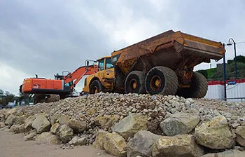
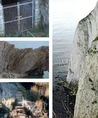
North Beach Cliff Stabilisation
Cliff stabilising project at the north end of Swanage bay to protect the cliffs and buildings from coastal erosion
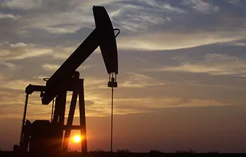
Oil Industry in Purbeck
Oil has been extracted from the Isle of Purbeck since the early 17th century from Kimmeridge in the form of oil shale and under the ground in Purbeck
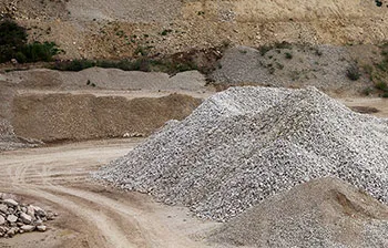
Quarrying in Purbeck
Quarrying has been important to Swanage and the Isle of Purbeck since at least the 1st century AD and Purbeck stone has been used in construction across the UK
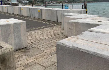
Seafront Stabilisation Project
Swanage seafront stabilisation works to protect the Recreation Ground and Shore Road to prevent soil slippage
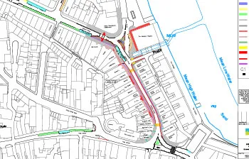
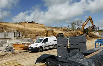
Swanage town centre enhancements in 2020
Swanage town centre enhancements to the pavements and roads for Station Road and Institute Road in 2020

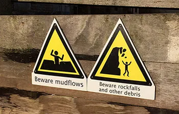
Erosion in Ocean Bay
Ocean bay suffers from coastal erosion and the beach at Ocean Bay has often vanished at high tides, with large sections of the cliff fallen into the sea
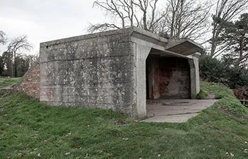
World War 2 in Purbeck
The Isle of Purbeck was at the heart of Britain's wartime effort, birthplace of modern radar, rehearsal ground for D-Day, bombed repeatedly and home to an evacuated village