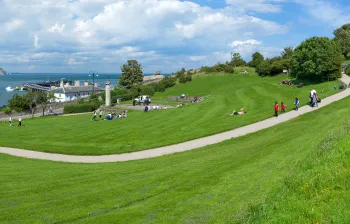
Prince Albert Gardens
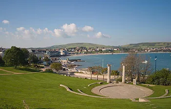
The landscaped seafront gardens sit just below the Downs, 0.1 miles away, with the amphitheatre and the 1862 Albert obelisk.
Visit Prince Albert Gardens

Open clifftop grassland at the southern edge of Swanage, rising behind Prince Albert Gardens to Peveril Point. A wild green headland of sea views, rare wildlife and coast path walks, just minutes from the town.
The Downs is a large area of open, sloping grassland at the south-eastern edge of Swanage, rising up behind Prince Albert Gardens and the Victorian pier and running out to the rocky tip of Peveril Point. It gives some of the finest views in the town, and a real sense of wild coast within a few minutes' walk of the seafront.
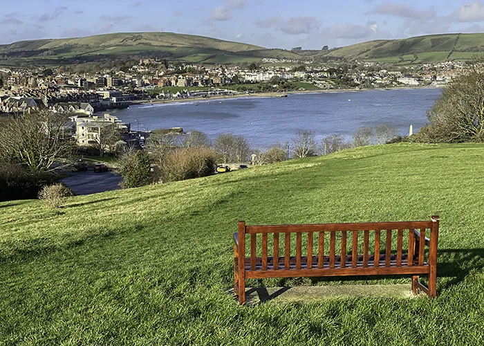
From the top of the Downs the whole sweep of Swanage Bay opens up: north across the water to Ballard Down and the chalk stacks of Old Harry Rocks, east to the open Channel and, on a clear day, the Isle of Wight, and south across Durlston Bay towards Durlston Head. The grass slopes gently up from the town before the ground falls away sharply on the seaward side to the cliffs above the bay.
It is one of the best-loved open spaces in Swanage. Dog walkers, families and visitors use it for picnics, for watching the sunset over the bay with fish and chips, and as the perfect grandstand for the carnival fireworks each summer. For walkers it is the gateway to the coast: the South West Coast Path runs straight across the Downs, climbing south towards Durlston Country Park and the Anvil Point lighthouse.
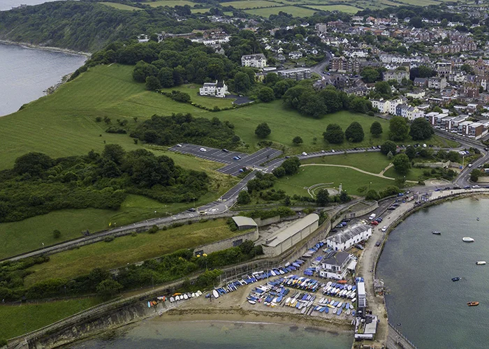
The Downs has a longer history as public land than many realise. The ground was originally part of the grounds of the former Grosvenor Hotel, the grand seafront hotel that once stood nearby. The local authority acquired the land in 1931, and it has been cared for by Swanage Town Council since 1974, kept open and managed to a high standard for everyone to enjoy.
In April 2023 the Downs, together with Peveril Point, was designated a Local Nature Reserve, recognising it as one of the most important wild spaces in the town. The designation followed years of work between the Town Council, the group Sustainable Swanage and local volunteers, including habitat surveys, public consultation and a detailed management plan.
The reserve is richer in wildlife than its small size suggests. It supports several hundred plant species and a wide range of animals, including rare butterflies such as the Lulworth Skipper, a tiny species found only along this stretch of the Dorset coast. The whole area forms part of the Dorset National Landscape, the protected area once known as the Area of Outstanding Natural Beauty.
Walk across the Downs and you reach Peveril Point, the rocky headland that forms the southern tip of Swanage Bay. The point exists because of its geology: while the soft clay of the bay has worn away over the ages, the harder bands of Portland and Purbeck limestone here, folded into a tight structure in the rock, have resisted the sea and been left standing as a headland. The limestone ledges, known as Peveril Ledges, run far out to sea and create a fierce tidal race that has long been a hazard to shipping.
Those same ledges sit at the heart of one of Swanage's oldest legends. According to early accounts, a large fleet of Danish ships was wrecked here in a violent storm in the year 877, during the time of King Alfred the Great. The story is much disputed, but it has tied Peveril Point to the Viking age in local memory ever since.
On top of the point stands a National Coastwatch Institution lookout, staffed by volunteers who keep watch over the bay and the busy waters around the ledges. There are remains of an older wartime lookout and gun emplacement here too. The coastguard cottages nearby were once home to the customs men who hunted the smugglers working this coast in the nineteenth century.
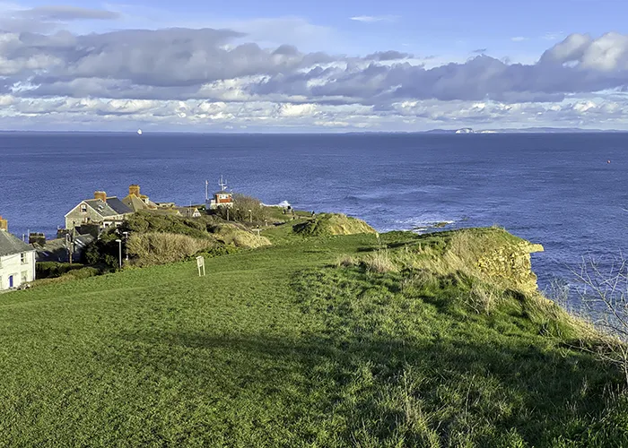
The Downs is where many people first join the South West Coast Path, the longest waymarked footpath in the country at 630 miles. The National Trail runs from Minehead in Somerset, around the coasts of Devon and Cornwall and along the whole of the Dorset shore to Poole Harbour. The stretch from Old Harry Rocks to Exmouth forms part of the Jurassic Coast, England's only natural World Heritage Site.
From the Downs you can follow the coast path south over the hills and reach Durlston Country Park and Durlston Castle in under half an hour, with its clifftop walks, the Great Globe and one of the finest seabird colonies on the south coast. Hundreds of miles of connecting footpaths and bridleways open up a huge choice of circular walks from here.
The clifftop is also a fine place to watch wildlife. Seabirds nest in the cliffs below, and the waters off the point are a good spot to look for dolphins, seals and even the occasional sunfish. The cliffs here are steep, unstable in places and completely unfenced, so it is important to keep well back from the edge and to keep dogs under close control or on a short lead.
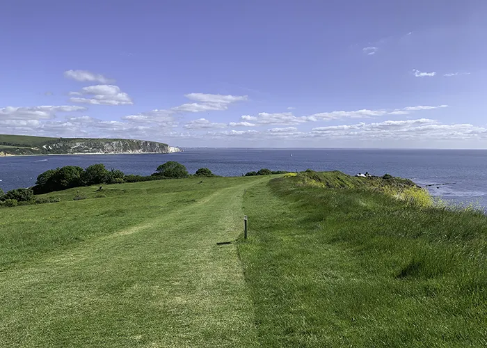
The landscaped seafront gardens sit just below the Downs, 0.1 miles away, with the amphitheatre and the 1862 Albert obelisk.
Visit Prince Albert Gardens
The restored Victorian pier is a short walk below the Downs, 0.2 miles away, for diving, fishing and boat trips.
Visit Swanage Pier
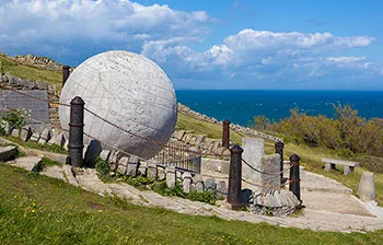
Follow the coast path south from the Downs to reach this award-winning country park and Durlston Castle in under 30 minutes.
Visit Durlston Country Park
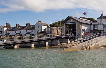
The RNLI station sits at the foot of Peveril Point, 0.2 miles away, watching over the bay and the ledges.
Visit the Lifeboat Station
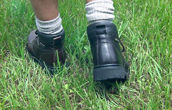
The Downs are on the South West Coast Path, with circular walks to Durlston, Peveril Point and along the coastline.
Explore more Walking routes
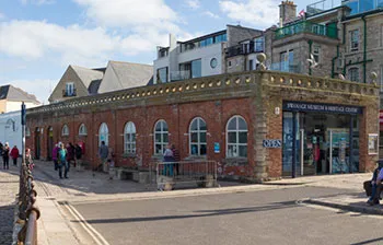
The Museum and Heritage Centre, 0.3 miles away, tells the story of the town from Jurassic coast to seaside resort.
Visit the Swanage Museum
Sources used to verify and expand the information on this page: