Rempstone Short Loop
5.5miles
Length
85metres
Elevation gain
46minutes
Average time
Off Road
Ride Type
This flat 5 mile off-road ride takes you past Wytch Farm and through Rempstone Forest along smooth gravel tracks.
Some sections can be muddy in winter and prone to flooding so take care after heavy rain.
Start:
Road between Corfe Castle and Arne, N50 39.801 W2 03.272
OS Grid Ref: SY 9624284855
These routes have been recorded using a Garmin GPS unit. We cannot guarantee the accuracy of the available data files due to differences between GPS devices.
Route
Start of Ride
Elevation: 7 metres
OS Grid Reference: SY 96242 84855
Lat, long: 50.66335, -2.05453
Park on the side of the road and go across grass to gateway under trees.
Gate next to trees
Elevation: 6 metres
OS Grid Reference: SY 96388 84922
Lat, long: 50.66396, -2.05247
Go through gate and follow path under trees until next gate over small wooden bridge.
Gate
Elevation: 3 metres
OS Grid Reference: SY 96577 84786
Lat, long: 50.66274, -2.04980
Continue along path until you come to a small stone bridge with double wooden gates
Bridge
Elevation: 3 metres
OS Grid Reference: SY 96669 84763
Lat, long: 50.66253, -2.04849
Go through the wooden gates and over the bridge and follow bridleway sign up across the field to fence line.
Metal Gate
Elevation: 9 metres
OS Grid Reference: SY 96758 84677
Lat, long: 50.66176, -2.04723
Go though the metal gate and follow track across the field towards the trees.
Wooden Gates
Elevation: 10 metres
OS Grid Reference: SY 96975 84494
Lat, long: 50.66011, -2.04416
Go through the wooden gate onto wide forest track, continue until you come to next gate and road.
Gate and Road
Elevation: 21 metres
OS Grid Reference: SY 97115 84403
Lat, long: 50.65929, -2.04217
Go straight ahead through the gate and cross the road, and through the next wooden gate. Follow the forest track until you come to a wooden gate on your left with a gap on the left side, go through the gap onto the road and then go right, then left onto tarmac road.
Junction
Elevation: 1 metres
OS Grid Reference: SY 97346 84108
Lat, long: 50.65665, -2.03891
Turn right then left onto tarmac road. Follow the road along the edge of the trees (left side) and right at the next corner and follow road up the hill until you come to a rough track on your left next to an electricity sub station.
Left onto Rough Track
Elevation: 1 metres
OS Grid Reference: SY 97658 83536
Lat, long: 50.65150, -2.03450
Turn left at the electricity sub station and follow the rough track into the forest. This track can be muddy in the winter. Continue along the track until you come to a tarmac road T junction.
T Junction
Elevation: 1 metres
OS Grid Reference: SY 99408 84046
Lat, long: 50.65609, -2.00974
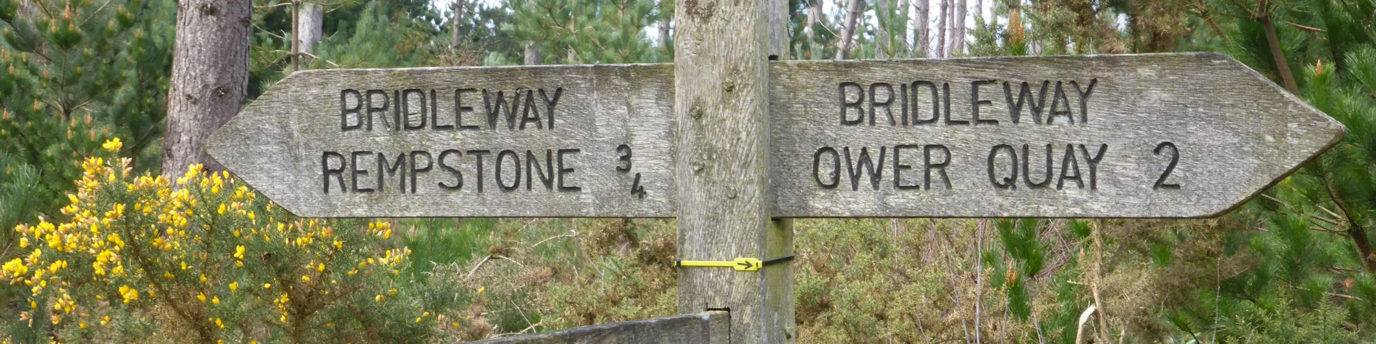
Turn left onto tarmac road and continue along the road until you come to a cross roads with rough tracks on each side and a wooden sign on the left side.
Junction
Elevation: 1 metres
OS Grid Reference: SY 99244 84753
Lat, long: 50.66245, -2.01206
Turn left and follow the rough track until you come to a gate with a gap on the left side.
Gate
Elevation: 1 metres
OS Grid Reference: SY 98200 83989
Lat, long: 50.65558, -2.02683
Go straight ahead at the gate and continue through the farm on the road.
T Junction
Elevation: 1 metres
OS Grid Reference: SY 97795 83808
Lat, long: 50.65394, -2.03256
Turn right at the T junction and follow outgoing route back to the start of the ride.
Elevation Chart and Map
Move your mouse over the elevation line to view the location on the route map.
Walker & Cyclist Friendly Accommodation
Whether you’re exploring scenic trails, tackling longer routes, or simply enjoying a leisurely ride, choosing the right base makes all the difference. Below you’ll find details of some of the many local accommodation businesses that understands the needs of outdoor enthusiasts, helping you relax, recharge, and get ready for your next journey.