Rempstone Purbeck Hills
14miles
Length
410metres
Elevation gain
2hours 6minutes
Average time
Off Road
Ride Type
A hilly offroad ride around the Isle of Purbeck starting at Swanage heading across Rempstone Forest before climbing to the Purbeck hills and heading east towards Ulwell and Swanage.
The ride begins with a road section to the top of Godlingston Heath followed by a long off-road descent across the heath into Rempstone Forrest. Follow the forrest tracks to the base of the Purbeck Hills and a long climb on chalky tracks to the bronze age Nine Barrow Down.
Climbs to the top of the Purbeck Hills with stunning views across the countryside before decending down a rocky track back to Swanage.
Start:
Main Beach Car Park
Victoria Avenue
Swanage
BH19 1PW
OS Grid Ref: SZ 02667 79104
These routes have been recorded using a Garmin GPS unit. We cannot guarantee the accuracy of the available data files due to differences between GPS devices.
Route
Car Park
Elevation: 9 metres
OS Grid Reference: SZ 02748 79089
Lat, long: 50.61151, -1.96252
Start from the Car park in Victoria Avenue, exit the car park and turn right onto Victoria Avenue and then left onto Northbrook Road and continue up Northbrook Road. At mini roundabout go straight ahead and follow the road until the junction with the main road.
T Junction
Elevation: 34 metres
OS Grid Reference: SZ 02227 80815
Lat, long: 50.62704, -1.96988
Ulwell Road and Darkie Lane - Turn left onto Ulwell Road.
Y Junction
Elevation: 56 metres
OS Grid Reference: SZ 01814 81206
Lat, long: 50.63055, -1.97571
Y Junction - Turn left at junction and proceed up steep hill.
T Junction
Elevation: 112 metres
OS Grid Reference: SZ 01245 81785
Lat, long: 50.63576, -1.98376
B3351 Junction - Turn right at top of hill and follow road past golf course until you come to a small clearing on your left with a wooden gate and 3 parking spaces.
Wooden Gate
Elevation: 118 metres
OS Grid Reference: SZ 01717 81884
Lat, long: 50.63665, -1.97708
B3351 Parking Area and Gate - Turn left through gate at small parking area on left and continue SA for approx. 300 metres past open area of the golf course.
Track Junction
Elevation: 110 metres
OS Grid Reference: SZ 01783 82094
Lat, long: 50.63854, -1.97615
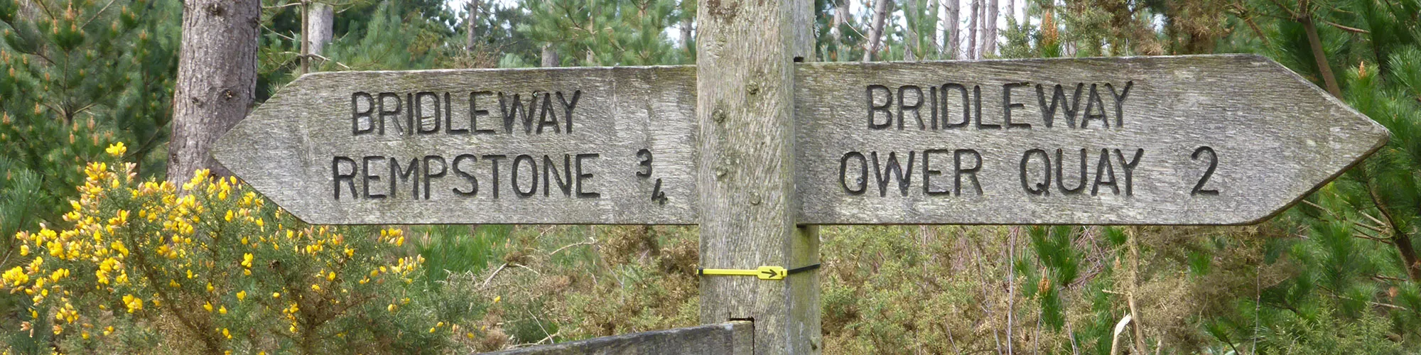
Y Junction - Turn Left where Track splits off and follow track a short distance until you come to a junction in the bushes on the right with a stone bridleway sign.
Junction
Elevation: 106 metres
OS Grid Reference: SZ 01689 82119
Lat, long: 50.63876, -1.97748
Turn right and follow the twisting track down and in a North direction across the heathland. Continue straight ahead at a wooden gate and continue down and along the track until you come to a level section of track with water each side and a bridleway sign on the left. Bear left and follow the narrow track until you come to an open field.
Field
Elevation: 16 metres
OS Grid Reference: SZ 01593 83755
Lat, long: 50.65348, -1.97883
Continue along the field with the hedge on your left side. Ride towards the barn in the distance until you come to a gate.
Gate
Elevation: 9 metres
OS Grid Reference: SZ 01588 84179
Lat, long: 50.65729, -1.97890
Go through the wooden gate and then turn left though a second gate and cross the small stream following the track up onto a chalky track.
Junction
Elevation: 7 metres
OS Grid Reference: SZ 01489 84187
Lat, long: 50.65735, -1.98030
Turn right and follow the wide bridleway track into Rempstone Forest.
Cross Roads
Elevation: 25 metres
OS Grid Reference: SZ 00794 84179
Lat, long: 50.65729, -1.99013
When you come to a cross roads in the track bear right and follow the bridleway until you come to a cross road with a tarmac road.
Gate and Road
Elevation: 25 metres
OS Grid Reference: SZ 00148 84474
Lat, long: 50.65994, -1.99927
Go straight ahead across the road to the wooden gates.
Wooden Gate
Elevation: 26 metres
OS Grid Reference: SZ 00132 84537
Lat, long: 50.66051, -1.99950
Go through the wooden gate and follow the wide track towards the trees and down a sandy hill until you come to a metal gate, go straight ahead at the gate and continue along the grass track until you come to a wooden gate and cross roads.
Cross Roads
Elevation: 9 metres
OS Grid Reference: SY 99719 85282
Lat, long: 50.66721, -2.00534
Turn left and follow the chalk track until you come to a tarmac road.
Tarmac Road Junction
Elevation: 14 metres
OS Grid Reference: SY 99246 84782
Lat, long: 50.66271, -2.01203
Turn left onto the tarmac road and continue along the road until you come to a cross roads with a rough track on your right.
Cross Roads and Track entrance
Elevation: 21 metres
OS Grid Reference: SY 99413 84052
Lat, long: 50.65615, -2.00967
Turn right onto the bridleway track and follow the track along a level section which can be muddy in winter, the track climbs a small slope and narrows to a singletrack and then opens again into a wide farm lane. Continue along the track until you come to a T junction with a tarmac road.
T Junction
Elevation: 24 metres
OS Grid Reference: SY 97656 83531
Lat, long: 50.65145, -2.03452
Turn left and follow the road in a Southerly direction until you come to a junction
Junction
Elevation: 28 metres
OS Grid Reference: SY 97465 83174
Lat, long: 50.64825, -2.03722
Continue straight ahead at the junction and continue to next T junction.
T Junction
Elevation: 35 metres
OS Grid Reference: SY 97221 82766
Lat, long: 50.64458, -2.04066
Turn right onto the B3351 and continue until you come to a junction and narrow road on your left for Rollington Farm.
Rollington Farm junction
Elevation: 37 metres
OS Grid Reference: SY 96875 82837
Lat, long: 50.64521, -2.04557
Turn left and follow the track past the farm buildings until you come to a metal gate.
Metal Gate
Elevation: 58 metres
OS Grid Reference: SY 96930 82502
Lat, long: 50.64220, -2.04478
Go though the metal gate and follow the bridleway track as it bears left then right up the valley until you come to the transmitter towers on your left side and gates.
Gate and Transmitter Towers
Elevation: 109 metres
OS Grid Reference: SY 97258 82129
Lat, long: 50.63885, -2.04014
At the transmitter site go through the gate heading East and then bear right and follow the wide track down the side of the hill until you come to a wide gate on your right side.
Gate and Junction
Elevation: 91 metres
OS Grid Reference: SY 97443 81992
Lat, long: 50.63761, -2.03752
At the bottom of the track bear left and follow the narrow bridleway along the side of the Pubeck Hills heading East past several gates.
Track Junction
Elevation: 134 metres
OS Grid Reference: SY 98549 81720
Lat, long: 50.63517, -2.02188
Continue straight along the side of the hill following the narrow bridleway
Knitson Farm Junction
Elevation: 113 metres
OS Grid Reference: SZ 00462 80943
Lat, long: 50.62819, -1.99483
Bear left when the track goes down a small hill and continue straight along the side of the hill following the narrow bridleway past a mobile phone mast on the left side until you come to the main track which takes you to the top of the Purbeck Hills from Ulwell Road.
Gate
Elevation: 122 metres
OS Grid Reference: SZ 01063 80781
Lat, long: 50.62673, -1.98633
Continue straight ahead though the gate and follow the narrow bridleway along the side of the hill.
Downhill Start
Elevation: 111 metres
OS Grid Reference: SZ 01479 80877
Lat, long: 50.62759, -1.98045
Bear right onto the wider track and follow the track down the valley until you come to the metal gates and Ulwell Road.
Ulwell Road
Elevation: 57 metres
OS Grid Reference: SZ 01845 81127
Lat, long: 50.62984, -1.97527
Turn right onto Ulwell Road (caution very busy road, take care) and follow Ulwell Road down to Swanage and continue along the Sea Front until you come to a T junction with Victoria Avenue.
Victoria Avenue
Elevation: 1 metres
OS Grid Reference: SZ 03074 79157
Lat, long: 50.61211, -1.95792
Turn right onto Victoria Avenue and follow the road back to the Car Park and start of the ride.
Elevation Chart and Map
Move your mouse over the elevation line to view the location on the route map.
Walker & Cyclist Friendly Accommodation
Whether you’re exploring scenic trails, tackling longer routes, or simply enjoying a leisurely ride, choosing the right base makes all the difference. Below you’ll find details of some of the many local accommodation businesses that understands the needs of outdoor enthusiasts, helping you relax, recharge, and get ready for your next journey.