Around the Purbeck Hills
20miles
Length
670metres
Elevation gain
2hours 14minutes
Average time
Road
Ride Type
This challenging figure-of-eight cycling route takes you deep into the Purbeck Hills, tracing the contours along their steep sides and ridgelines. The ride is known for its constant ups and downs, with a series of tough climbs and fast descents that make it a demanding but rewarding route.
The path winds around the hills in two linked loops, giving it its distinctive figure-of-eight shape. Along the way, you’ll enjoy sweeping views across the Jurassic Coast, Poole Harbour, and the Isle of Purbeck countryside, making the effort worthwhile.
With its hilly terrain and exposed stretches, this ride is best suited to cyclists with good fitness and confident bike handling skills. Expect a workout for the legs, but also some of the finest scenery in Southern Dorset.
Start:
Start from layby on Ulwell Road at the Welcome to Swanage signs
SZ 02171 80919
These routes have been recorded using a Garmin GPS unit. We cannot guarantee the accuracy of the available data files due to differences between GPS devices.
Route
Start
Elevation: 51 metres
OS Grid Reference: SZ 02177 80911
Lat, long: 50.62790, -1.97058
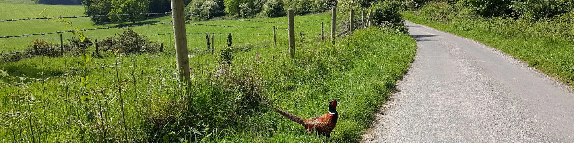
Start at the layby on the side of the Ulwell Road on the outskirts of Swanage. Head north along the road out of Swanage.
Y Junction
Elevation: 67 metres
OS Grid Reference: SZ 01813 81227
Lat, long: 50.63074, -1.97573
Turn left at the junction and follow the road along the side of the Purbeck hills and up a steep hill to the next T junction
T Junction
Elevation: 108 metres
OS Grid Reference: SZ 01236 81794
Lat, long: 50.63584, -1.98388
Turn left at the junction and continue on the B3351 until you come to a stone bridge and junction with the A351 at Corfe Castle.
A351 and East Street and B33511
Elevation: 30 metres
OS Grid Reference: SY 95993 82408
Lat, long: 50.64135, -2.05803
Turn right onto the A351, caution this is a very busy road
Church Knowle Junction
Elevation: 30 metres
OS Grid Reference: SY 95958 82430
Lat, long: 50.64154, -2.05852
Turn left and follow the narrow road around the base of Corfe Castle, over a small bridge and follow the road though the village of Church Knowle until you come to a small crossroads.
Cross Roads
Elevation: 56 metres
OS Grid Reference: SY 93417 81667
Lat, long: 50.63466, -2.09444
At the cross roads, turn right (sign post for Stoborough and Wareham) and follow the narrow road up and over the steep hill. Follow the road until you come to the next T junction with a sign post for Church Knowle, Furzebrook, Stoborough and Wareham. Turn Left at the T junction
T Junction
Elevation: 72 metres
OS Grid Reference: SY 93245 82552
Lat, long: 50.64262, -2.09689
Turn left at the T junction and continue though the village of East Creech until you come to a Y junction next to a telephone box. Turn Left.
Y junction
Elevation: 89 metres
OS Grid Reference: SY 92768 82541
Lat, long: 50.64251, -2.10365
Turn left at the junction and follow the road South up a long hill and around to the right, continue down the road until you come to a T junction with Grange Road.
Grange Road Junction
Elevation: 84 metres
OS Grid Reference: SY 91315 82298
Lat, long: 50.64031, -2.12419
At the junction, turn left and follow the very steep climb up the hill until you come to a small gravel car park on your left and the next junction. There is often an Ice Cream van at the weekends at the car park so it is a good location to stop and take in the views.
Time for Ice Cream
Elevation: 159 metres
OS Grid Reference: SY 90416 81724
Lat, long: 50.63513, -2.13688
Time to take a break and enjoy the views! At the top of Grange Hill follow the road along the ridge and then left down the hill. Take care as many cars are in the middle of the road on the decents and there are a lot of blind corners. Follow the road heading East back to Church Knowle and continue to the T junction at Corfe Castle.
Church Knowle Return
Elevation: 30 metres
OS Grid Reference: SY 95958 82430
Lat, long: 50.64154, -2.05852
Turn right onto the A351 (caution very busy road) and continue around the edge of Corfe Castle going past the T junction for Studland (outward ride) and then turn left at the next right bend onto Sandy Hill Lane
East Street and Sandy Hill Lane
Elevation: 24 metres
OS Grid Reference: SY 96096 82189
Lat, long: 50.63938, -2.05657
Turn left onto Sandy Hill lane and follow the narrow road past several farms until you come to a T junction on your Left with a slow sign on the road and the Swanage brickworks buildings on the left.
Washpond Lane and Brickyard Lane and path
Elevation: 22 metres
OS Grid Reference: SZ 02106 80267
Lat, long: 50.62210, -1.97159
Turn left onto Brickyard Lane and follow the road up the hill until the next junction with Darkie Lane
Darkie Lane and Brickyard Lane
Elevation: 44 metres
OS Grid Reference: SZ 02137 80687
Lat, long: 50.62588, -1.97114
At the junction with Darkie Lane, turn left and follow the road to the next junction with Ulwell Road.
Ulwell Road and Darkie Lane
Elevation: 36 metres
OS Grid Reference: SZ 02230 80818
Lat, long: 50.62706, -1.96984
At the junction with Ulwell Road, turn left and then right into the layby at the start of the route.
Elevation Chart and Map
Move your mouse over the elevation line to view the location on the route map.
Walker & Cyclist Friendly Accommodation
Whether you’re exploring scenic trails, tackling longer routes, or simply enjoying a leisurely ride, choosing the right base makes all the difference. Below you’ll find details of some of the many local accommodation businesses that understands the needs of outdoor enthusiasts, helping you relax, recharge, and get ready for your next journey.