Longshore Drift in Swanage
How winds and tides change Swanage bay over time
Swanage Bay is one of the best-known stretches of coastline on the Jurassic Coast, and not just for its sandy beach and Victorian seafront. The bay is also a classic example of longshore drift in action, and it draws school and college geography groups from all over the country every year. Here we take a look at what longshore drift actually is, why it happens so clearly in Swanage Bay, and how the town has managed it over the years.
What
What is longshore drift?
Longshore drift is the process by which waves move sand and shingle along a beach. When waves approach the shore at an angle, driven by the prevailing wind, the swash (the rush of water up the beach) carries material up the beach at that same angle.
Gravity then pulls the water, and the material within it, straight back down the beach as backwash. Repeated many times, this creates a zigzag movement that gradually shifts sediment along the coast in one dominant direction.
Why
Why Swanage Bay is such a good example
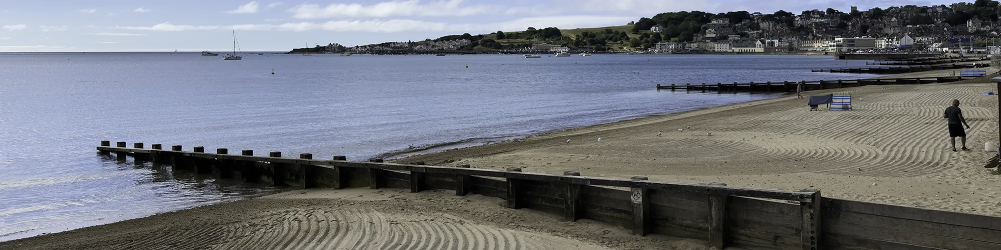
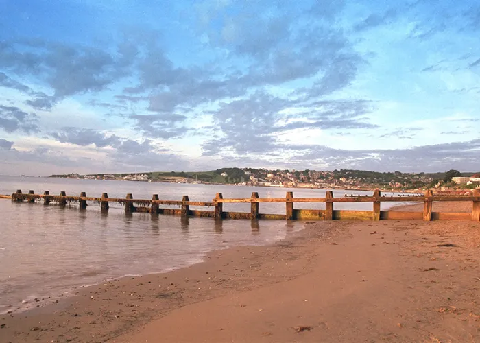
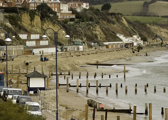
Swanage Bay curves gently between Peveril Point in the south and Ballard Point, below Old Harry Rocks, in the north. The beach itself runs roughly north to south and is made up of sand and shingle, which makes any movement of material easy to see and measure. Timber groynes have been built at intervals along the beach, and these act as a handy record of drift: sediment piles up higher on the updrift side of each groyne and is noticeably lower on the downdrift side.
Movement
Which way does the sand move?
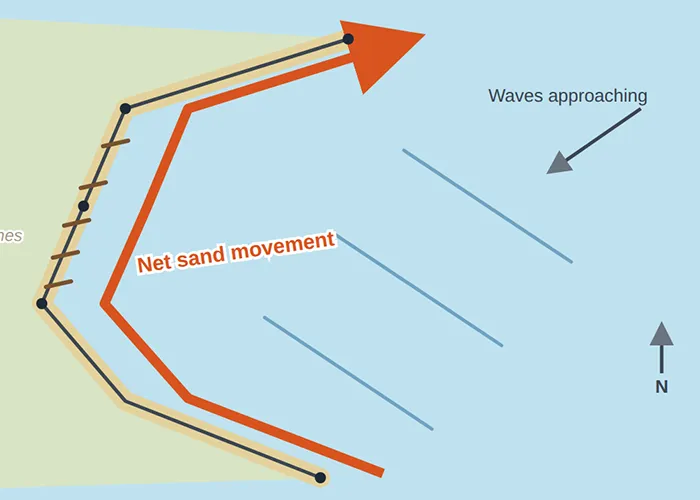
It is easy to assume that sand in a south-facing bay like Swanage always drifts south, but the picture here is more interesting than that. Wave refraction around Peveril Point bends incoming waves as they enter the bay, and the result is a net drift northwards, up the bay towards Ulwell and Ballard Down. During winter storms, north-easterly and easterly winds can temporarily reverse this and push sediment back south, but these reversals are short-lived and do not change the long-term northward trend.
Where
Where does the sand come from?
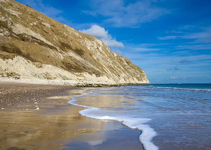
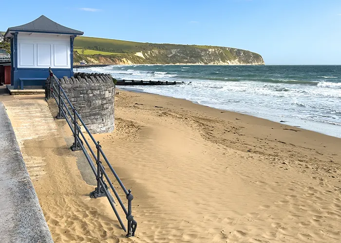
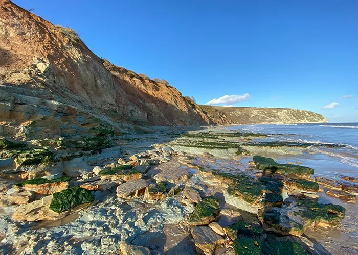
Most of the sediment on Swanage beach comes from the cliffs themselves feeding sand and gravel onto the beach. Further north, the chalk cliffs contribute flints as the softer chalk is worn away around them, while the limestone cliffs of Durlston Bay to the south add clay, silt and the occasional limestone boulder. A smaller but still useful supply of sand reaches the bay from offshore, carried in from Poole Bay, and the rivers Swan and Ulwell add a little fine sediment of their own, though in much smaller quantities.
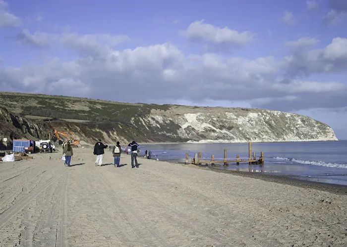
A beach recharge scheme has been used in the past to bring fresh sand to the beach.
Storms
Storms, easterly winds and seaweed
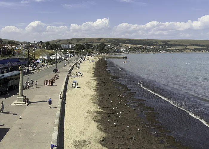
Sand and shingle are not the only things moved around Swanage Bay by the sea. During storms, an easterly wind can pile large quantities of seaweed onto the beach, often with very little warning. It tends to settle mainly on the stretch between the Mowlem and the Banjo Pier, so the rest of the bay is usually left clear even when a big deposit has come ashore.
Left to its own devices, this seaweed does not stay put for long. Just as it can arrive suddenly on an easterly wind, it can disappear again on the next tide, with the changing tide and wind pattern gradually working the weed back offshore or spreading it along the shore.
For many years, a local farmer collected the surplus under contract with the council and used it as fertiliser, which kept the beach clear through the busy summer months. More recently, the council has been trialling a different approach, leaving more of the seaweed for the sea and tides to redistribute naturally rather than removing it straight away.
Groynes
Groynes and managing the drift
Left alone, longshore drift would gradually strip sand from the southern part of the bay and pile it up elsewhere, so groynes have played a big part in Swanage's coastal management for almost a century. The first groyne field was built in the 1930s to tackle erosion that followed earlier extension of the seawall, and further groynes were added, stretching north to Shep's Hollow, in the late 1950s and early 1960s. Today around twenty groynes run along the beach.
Over time, some of the older defences have deteriorated, allowing sediment that had previously been trapped to move away down the coast and offshore instead. A revetment was completed at Durlston Flats in 1989 to protect the cliffs there, and a culvert and jetty were built where the River Swan meets the beach in 1991.
Since the early 1980s, the beach between the Mowlem and Ballard Down has continued to lose sand, and erosion rates picked up further between 1998 and 2002. Because of this, Swanage's Beach Management Plan looks at combining hard engineering, such as groynes, with softer approaches like beach nourishment, topping up the beach with imported sand, to keep the bay stable for both coastal protection and everyday use by residents and visitors.
Education
A popular fieldwork location
Because the process is so visible here, Swanage Bay is a regular destination for GCSE and A Level geography fieldwork. A typical investigation involves measuring the height of the beach material against a groyne on both its north and south sides at several points along the bay, then plotting the results on a graph. Whichever side consistently shows a smaller drop is the downdrift side, revealing the direction sand is being moved. Many groups extend the exercise by noting the type and size of beach material at each point too, since sediment tends to become finer moving from north to south across the bay.
Future
Looking ahead
Swanage Bay sits within a Site of Special Scientific Interest and forms part of the Jurassic Coast UNESCO World Heritage Site, so any future coastal management has to balance protecting the town with preserving the geology and habitats that make the coastline so significant. Ongoing monitoring of beach volumes, along with proposals for further sand replenishment and redesigned groynes, will likely shape how Swanage Bay is managed in the years ahead, but the underlying process, waves pushing sand steadily northward along the beach, will carry on regardless.
References & further reading
Sources used to verify and expand the content on this page:
- Royal Geographical Society Longshore Drift Investigation, Jurassic Coast of Dorset and East Devon
- SCOPAC Durlston Head to Handfast Point (Swanage) Sediment Transport Study
- Dorset Coast Forum Swanage Coastal Management Schemes
- Swanage News Seachange in Policy Means New Plan for Swanage Seaweed