Kilwood Nature Reserve Walk
Walking Route
Type: Off Road Ride
Distance: 2.5 miles
Total Ascent: 200m (approx)
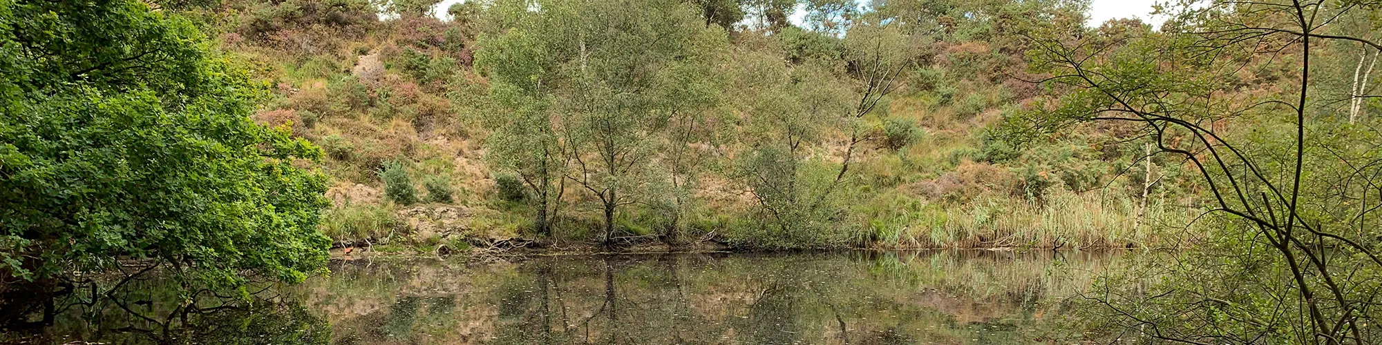
![]() Starting location:
Starting location:
Start at a metal gate sign posted Kilwood Nature Reserve at OSGB36 Grid ref: SY 9329582476 on Furzebrook Road. Limited parking spaces are on the side of the road.
Description:
This is a hilly 2.5 mile walk exploring the north side of the Purbeck hills between Norden and Creech.
These routes have been recorded using a Garmin GPS unit. We cannot guarantee the accuracy of the available data files due to differences between GPS devices.
Route
1 - Start - Start at a metal gate sign posted Kilwood Nature Reserve at OSGB36 Grid ref: SY 9329582476 on Furzebrook Road. Limited parking spaces are on the side of the road. Go though the gap next to the metal gate and go across the field to a fence and wooden stile.
2 - Stile and start of hill climb - Go over the stile and follow a very steep and narrow track up the hill heading to the left. This maybe slippery in winter or after rain. Follow the narrow path up the hill to the next stile.
3 - Stile - Go over the wooden stile and follow the path to the top of the hill and a stone marker post.
4 - Stone marker post - At the top of the hill and stone post, turn left and follow the ridge path heading east towards Corfe Castle. At the first gate continue straight ahead until you come to the second gate on the upper path.
5 - Gate - Go through the gate and walk left at approx 45 degrees until you come to the fence line. Continue along this fence until you come to a wooden stile on your left.
6 - Wooden Stile - Go over the stile and continue at a 45 deg angle down the hill to your right until you come to a track heading down the hill to your left.
7 - Hillside Track - At the track, turn left and follow the narrow stone and gravel track down the hill heading North-West until you come to a fence line and a wooden swing gate.
8 - Wood Gate - Go through the wooden swing gate and continue North down across an open field.
9 - Wood Gate - Go through the wooden swing gate and continue North following the path.
10 - Wood Gate - Go through the wooden swing gate and continue North following the path until you come to the end of the field and another wood swing gate.
11 - Wood Gate and Bridleway - Go though the gate and turn left, following the bridleway track until you come to a wooden bridge with a small lake on your left side.
12 - Wood Bridge and footpath junction - Turn left after the bridge and follow the bridleway heading west until you come to a junction with a wide wood gate and narrow wood swing gate on your right.
13 - Wide gate and Wood swing gate - This section is optional as you can continue straight along the bridleway to step 15. This small detor takes you around one of the many small lakes and ponds in the area from historic clay mining. Go though the gate and follow a narrow path up a small hill which overlooks the lake. Follow the very narrow path around the edge of the lake until you come to a T junction in the track.
14 - T Junction - At the T junction in the narrow paths, turn left and continue following the very narrow path around the edge of the lake down a steep hill to the waters edge then heading right and up a narrow path which returns you to the bridleway.
15 - Wooden Gate and bridleway - Go though the wooden gate and turn right back onto the main bridleway track
16 - Road junction - At the junction with the Furzebrook Road, turn left and follow the road back to the start. Take care as this road can be busy in summer months.
Elevation Chart and Map
Move your mouse over the elevation line to view the location on the route map.