Studland Village to Agglestone Rock Walk
Walking Route
Type: Walk
Distance: 2.9 miles 4.7km
Total Ascent: 358ft - 113m (approx)
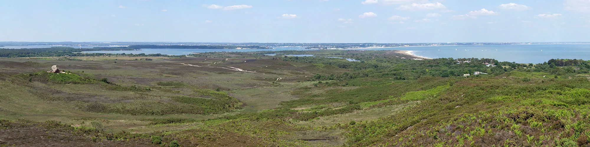
![]() Starting location:
Starting location:
Middle Beach Car park
Beach Road
Studland
BH19 3AX
Grid Ref: SZ 03612 82838
Description:
A walk from Studland Village heading west across Studland Heath to Agglestone Rock
These routes have been recorded using a Garmin GPS unit. We cannot guarantee the accuracy of the available data files due to differences between GPS devices.
Route
1 - Start from Middle Beach Car Park in Studland - Exit the car park and turn right on Beach Road and follow the road to the junction with Ferry Road.
2 - Ferry Road and Beach Road - Turn left onto Ferry road and continue up the road the village shop and cross roads.
3 - Swanage Road and Ferry Road and Heath Green Road and School Lane - Cross the road onto Heath Green Road and continue for approx 500m until you come to Agglestone Road on the right side.
4 - Heath Green Road and Agglestone Road - Turn right into Agglestone Road and follow the rough track as it turns left behind the houses and continue until the end of the road and two footpath entrances.
5 - Gate - Continue straight ahead though the gate/entrance on the left side and continue straight ahead heading West along the path.
6 - Junction with Bridleway - At the T junction with the bridleway, continue straight ahead and follow the path until you come to a cross junction with a gate on your left and a wide track on the right.
7 - Cross Roads with Gate on left - At the cross roads turn right and follow the wide track down a small hill and up to a cross road junction.
8 - Cross Junction - At the junction turn right and follow the rough track down to Agglestone Rock. Continue across the heathland past the rock until you come to a short steep hill and junction with a path to your left and right.
9 - Track Junction - At the junction, turn right and follow the narrow track down into a wooded area to a stream and small wooden bridge on the right. Continue over the bridge and follow the track though a wooden gate and continue until you come to a cross roads with a bridleway on your right.
10 - Wadmore Lane and Bridleway Junction - Turn right and follow the bridleway heading south until you come to a footpath on the left side.
11 - Footpath Gate - At the gate and footpath, turn left and follow the footpath across a small open field, continue following the footpath signs into a wooded area and out onto a narrow road. Continue along the road to the B3351 Ferry Road.
12 - Junction with B3351 Ferry Road - At the junction with the B3351 Ferry Road, turn right and continue up the road going past a bus stop until you come to the junction on the left with Beach Road.
13 - Ferry Road and Beach Road Junction - Turn left onto Beach Road and follow the road back to the car park and start of the walk.
Elevation Chart and Map
Move your mouse over the elevation line to view the location on the route map.