Southern Purbeck Hills
Cycling Route
Type: Off Road Ride
Distance: 14 miles
Total Ascent: 350m (approx)
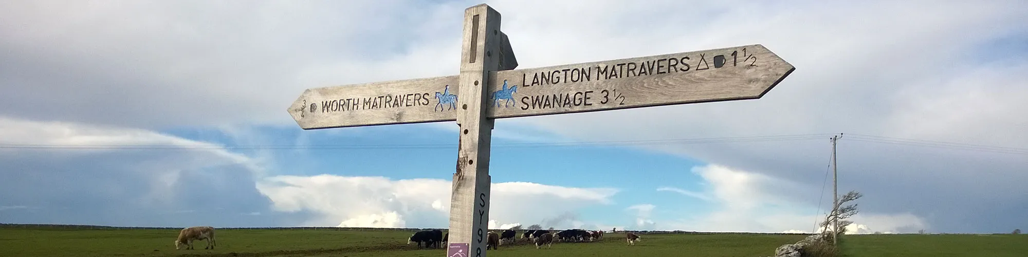
![]() Starting location:
Starting location:
Main Beach Car Park
Victoria Avenue
Swanage
BH19 1PW
OS Grid Ref: SZ 02667 79104
Description:
Swanage, Priests Way, Worth Matravers, Kingston, Corfe Castle and Harmans Cross. Some steep climbs on and off road and fast off road tracks.
These routes have been recorded using a Garmin GPS unit. We cannot guarantee the accuracy of the available data files due to differences between GPS devices.
Route
1 - Victoria Avenue - Start from the Car park in Victoria Avenue, exit the car park and turn right onto Victoria Avenue
2 - Victoria Avenue and Rempstone Road - Turn right at the traffic lights onto Rempstone Road and continue along the road until you come to the small roundabout at Station Road
3 - Station Road - Turn left and continue along Station Road and turn right at the junction next to Boots
4 - Junction at Boots - Turn right and continue on the right side of the road until you come to the junction with the High Street
5 - Institute Road and The Square - Turn right onto the High Street and continue straight ahead at the next junction and follow the High Street up a slight hill and continue until you come to a Y junction with Priests Road.
6 - High Street and Priests Road - Turn left at the junction with Priests Road and continue along Priests Road until you come to a junction for Priests Way, there is a walking sign on the left side of the road at this junction
7 - Priests Road and Priests Way - Turn left at the junction with Priests Way and continue up the hill until you come to a track on the right side marked Priests Way
8 - Start of Priests Way - Turn right onto the rough track and continue along the wide track which changes to a narrow rough track and goes up hill with bushes on each side. Continue up and along the bridleway until you come to a cross junction on the track.
9 - Track cross junction - Turn left and follow the narrow track up the hill following the Priests Way signs. Continue up the hill until you come to a gate on the right side.
10 - Priests Way main track - Turn right at the gate and follow the wide track along the Priests Way and continue through two gates and past farm buildings until you come to a Y junction when the track goes downhill.
11 - Priests Way continued - Turn left at the junction and follow the Priests Way signs up the hill heading NW going through gates until you come to the end of the wide track and onto a open field.
12 - End of Priests Way track - At the gate continue across the open field until you come to the tarmac road.
13 - Worth Road - Turn left at the road junction and follow the road down the hill to Worth Matravers. Continue through the village until you come to a Y junction just past the Square and Compass pub on your right side.
14 - Square and Compass junction - At the road junction turn right and go up the steep hill past the Square and Compass pub and follow the road down the hill and up to the next T junction at the top of the hill
15 - B3069 Junction - Turn left at the junction with the B3069 and follow the road to Kingston Village
16 - Kingston Hill and B3069 and West Street - Continue straight ahead at the junction at The Scott Arms pub and follow the road straight ahead up through the village until you come to a junction with a rough track on your right side.
17 - West Street and Rough Track - Turn right and follow the rough track through the trees until you come to a gate. Go through the gate and follow the rough track down the hill towards Corfe Castle.
18 - Farm - At the farm turn left and follow the track through the farm yard and follow the narrow road across Corfe Common.
19 - West Street Junction - When you come to a cattle grid at the top of the hill turn right and continue across the common following the bridleway signs until you come to a gate which crosses the B3069 from Kingson to Corfe Castle
20 - B3069 Crossroads - Go straight across the junction,( take care as this is a national speed limit road) and through the gate and follow the bridleway signs heading east across the common until you come to a gate which takes you onto the A351 (Valley Road)
21 - Valley Road Junction - Turn right onto A351 Valley Road and follow the road to Harmans Cross until you come to a cross roads just before the petrol garage signposted for Haycrafts Lane.
22 - Valley Road and Haycrafts Lane junction - Turn right onto Haycrafts Lane and follow the road down the hill, past the railway station heading south and continue up the hill until you come to a rough track on your left side with a bridleway sign.
23 - Bridleway Junction - Turn left onto the rough track and left at the next bridleway sign which goes down the hill and opens into a field. Continue down the hill following the track until you come to a metal gate.
24 - Metal Gate - Go through the metal gate and turn right and follow the track across the rough field heading towards the farm buildings. At the next gate go straight ahead and follow the bridleway signs around the back of the farm buildings until you come to a old wooded shed on your right and a metal gate
25 - Metal Gate and woodland track - Go through the metal gate and follow the singletrack through the woods until you come to a wider track, turn left and follow the rough road until you come to a cross roads with the A351 Valley Road.
26 - Valley Road Junction - Turn right onto Valley Road (take care as very busy) and follow the road back into Swanage. Continue along the High Street and then onto Victoria Avenue back to the start at the car park
Elevation Chart and Map
Move your mouse over the elevation line to view the location on the route map.