Purbeck Road Ride Long
Cycling Route
Type: Road Ride
Distance: 41 miles
Total Ascent: 760m (approx)
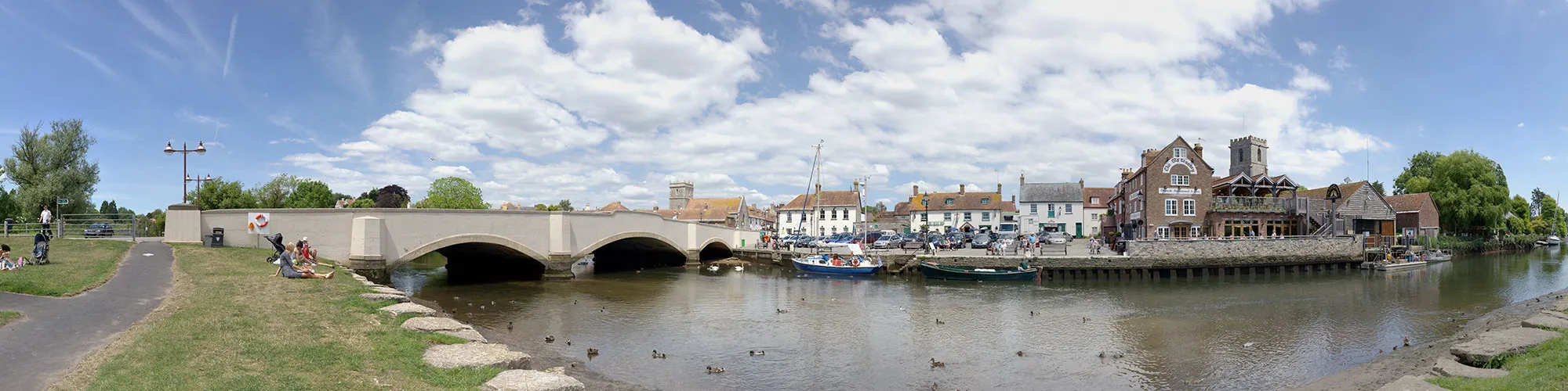
![]() Starting location:
Starting location:
Main Beach Car Park
Victoria Avenue
Swanage
BH19 1PW
OS Grid Ref: SZ 02667 79104
Description:
A ride around the Isle of Purbeck from Swanage over the army ranges and returning via Wool, Wareham and Corfe Castle. The ride goes along a section of the army ranges which are normally open at weekends and school holidays.
These routes have been recorded using a Garmin GPS unit. We cannot guarantee the accuracy of the available data files due to differences between GPS devices.
Route
1 - Start - Start at Victoria Avenue car park, exit car park and turn left along Victoria Avenue.
2 - Langton Junction - At the junction for Langton Matravers, continue bearing right along Valley Road and follow the main road to Corfe Castle, continue though the village and down the hill around the base of the castle until you come to a stepped cross roads.
3 - Junction to Church Knowle - Turn left at the junction signposted to Church Knowle, Steeple and Kimmeridge and follow the road heading west through the village of Church Knowle and continue along the road until it bares right and up a steep hill to a Y junction at the top of the hill.
4 - Grange Hill Junction - At the top of Grange Hill turn left at the junction and follow the road across the top of the army ranges across the ridge line and down to a T junction. Please note that the range roads are only open at weekends and school holidays. There is a car park at the highest point which is a idea place for a break to take photos.
5 - Junction - When you reach the junction at the bottom of the hill continue straight ahead to next junction
6 - B3070 Junction - At the junction at with the B3070 continue straight ahead along the B3070 until you come to a cross roads with sign posts for Lulwoth Cove on the left and Wool on the right.
7 - B3070 and B3071 Junction - Turn right at the junction towards Wool.
8 - Dorchester Road and A352 and Station Road Junction - When you reach the junction with the A352 to Dorchester and the railway crossing, turn right over the railway line and continue until you come to a mini roundabout. Caution this road can be very busy.
9 - Roundabout - At the roundabout turn left and follow the signs for Monkey World and continue along Tout Hill for 3.7 miles until you come to a junction on your right with a sign for Lane End
10 - T Junction - Turn right at the junction for Lane End and follow the road heading East until you come to a cross roads junction with stop signs and sign posts for Wareham to the right
11 - Sugar Hill Junction - Turn right onto Sugar Hill road and continue through Wareham Forest until you reach a roundabout at Wareham train station. On the right side of this road is the Silent Women pub which makes a idea spot for a break and a cold drink
12 - Bere Road and Roundabout - Turn left at the roundabout and up a small hill to a second roundabout, turn right and follow the main road over the bridge and down to a third roundabout.
13 - A351 and Roundabout - Take the first exit into Wareham and continue straight ahead through the town following the road past the river until you come to Stoborough
14 - Corfe Road and Nutcrack Lane Junction - Turn left at the junction with Nutcrack Lane and follow the narrow road heading East past the houses at Ridge until you come to a Y junction with sign for Arne and Corfe Castle
15 - Arne Road Junction - Turn right at junction and follow road across the heathland over 2 cattle grids until you come to a T junction just past the railway bridge.
16 - T Junction - Turn right at junction and then left at roundabout following the A351 towards Corfe Castle until you come to a stepped cross roads at the bottom of the hill
17 - A351 and B3351 Junction - Turn left at T junction (signpost Studland 5) and go under the railway bridge, follow the road for 3.75 miles until you come to a T junction on your right with a sign for Swanage.
18 - B3351 T junction - Turn right at the T junction and follow the steep road down to next Y junction.
19 - Ulwell Road Junction - Turn right onto Ulwell Road and follow road down to Swanage seafront.
20 - Shore Road and Victoria Avenue - At T junction with Victoria Avenue turn right and follow Victoria Avenue back to start of the ride at the car park.
Elevation Chart and Map
Move your mouse over the elevation line to view the location on the route map.