Hills and Heathland
Cycling Route
Type: Off Road Ride
Distance: 15.5 miles
Total Ascent: 665m (2180ft) approx
![]() Starting location:
Starting location:
Main Beach Car Park
Victoria Avenue
Swanage
BH19 1PW
OS Grid Ref: SZ 02667 79104
Description:
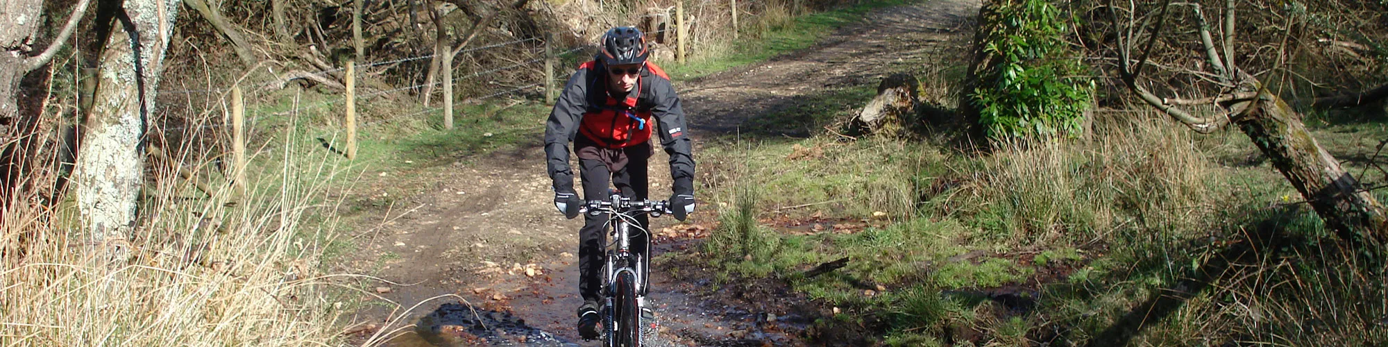
A 15.5 mile ride along the Purbeck Hills past Old Harry Rocks and back via a loop around Studland Heath and the edge of Rempstone Forest with stunning views of the Isle of Purbeck and across Poole Harbour and the Isle of Wight from the top of the Purbeck hills.
These routes have been recorded using a Garmin GPS unit. We cannot guarantee the accuracy of the available data files due to differences between GPS devices.
Route
1 - Start of Ride - Start from the Car park in Victoria Avenue, exit the car park and turn right onto Victoria Avenue and then left onto Northbrook Road.Continue along Northbrook Road until you come to a mini roundabout and go straight ahead past the road junction on your left, until you come to a T Junction onto Ulwell Road.
2 - Ulwell Road and Darkie Lane - Turn left ontoUlwell Road and follow the signs for Studland. The road bears right after the next Y Junction and up the hill. Turn right at the bridleway sign/junction on the right side.
3 - Bridleway Junction - Turn right on to the bridleway and go though the metal gate and follow the rough track up the hill to the stone Obelisk.
4 - Obelisk - At the stone Obelisk, continue straight ahead and follow the track up the hill to a gate. Go straight ahead at the gate and follow the track east past through two wooden gates and down towards Old Harry / The Foreland.
5 - The Foreland - Turn left at The Foreland and follow wide track back to Studland village.
6 - Road and Public Toilets - At the village go straight ahead at junction and follow the road up hill and to the right to the village shop and cross roads.
7 - Cross Roads - At the cross roads go straight ahead.
8 - Bridleway Junction - Turn right into rough track and follow bridleway until the track forks left and right with a gate on the left side.
9 - Track Junction - Turn left and follow bridleway up across the heathland going though several gates, until you come to the open area with the golf course at the top of the hill.
10 - Junction - Turn right at the junction at the top of the golf course track and follow the bridleway signs to Agglestone Rock with the golf course on your right side.
11 - Bridleway junction - Turn left into a narrow sandy track and follow the track down to double wooden gates. Go straight ahead at the gates and follow the track down hill to a bridleway sign on the left before the path narrows and changes to a footpath at Agglestone Rock
12 - Bridleway Junction - Turn left and follow the track
13 - Bridleway Junction - Turn right at the Y junction on the track
14 - Bridleway Junction - Turn right at the Y junction on the track and follow the wide track down across the heathland.
15 - Bridleway Cross Roads - At a cross roads with a second track, continue straight ahead and follow the wide track until you come to a gate and the ferry road.
16 - Ferry Road and Gate - At the ferry road, go through the gate and turn left and follow an unmade rough track down towards the forest.
17 - Gate and Junction - Then the track splits to the right with a gate ahead, continue straight ahead though the gate and across an open field until you come to a gate and a small stream.
18 - Gate and stream - Go through the gate and down a small slope to a stream with a wooden bridge. You can either cross the water on the bridge or ride through the water. Go up the small slope and then turn left and follow a wide forest track along the edge of the trees until you come to a large metal tank on the left side with Franks Tank written on the side.
19 - Franks tank - Go though the wooden gate on the left side and follow the bridleway signs up across the heathland along the edge of the golf course.
20 - Bridleway Junction - At a T junction turn right and follow the outgoing track straight ahead and up to the road.
21 - Gate and Road Junction - Turn right onto the B3351.
22 - T Junction - Turn left at the T junction and follow the road down the hill.
23 - Y Junction - At next junction, turn right onto the main road back to Swanage and continue along Ulwell Road and along the sea front.
24 - Victoria Avenue (A351) and Shore Road - Turn right onto Victoria Avenue and follow the road back to the car park and start of the ride.
Elevation Chart and Map
Move your mouse over the elevation line to view the location on the route map.